Showing posts with label Events. Show all posts

Friday, October 21, 2016

Workshop: Geo-Entrepreneurship - Using Location to Enhance Your Competitive Advantage

Build up your skills to bring your Geo-idea to the market! 

In this 1.5 day workshop you will be introduced to a range of techniques used by ‘startups’ to help develop your own geo-enabled business idea. You will learn the steps you need to take to identify and develop your idea, secure customers, and find market opportunities.
The participants of this workshop will be GI professionals, UNIGIS/Geo- students and alumni who want to bring their own GI-project to life, or get a new business idea off the ground. These are not only skills for new entrepreneurs, they will help you develop and champion internal company projects as well! The Workshop takes place in Salzburg on 2.-3. December 2016

Programme details
Register now * and meet at the Department for Geoinformatics University of Salzburg.
(Online Registration Deadline:  22nd November ´16)

The workshop will be lead by Dr. Ian Heywood, who teaches entrepreneurship at the University of Aberdeen Business School, with a focus on practical startup tools and techniques. This workshop has been co-created with input from Ed Parsons, an Executive Fellow at the University and Google’s Geospatial Technologist. It will feature a recorded lecture from Ed about GI entrepreneurship. The workshop will be supported by e-learning materials, and will be the kick-off for a UNIGIS elective module.


* Note: The workshop is open to everyone and especially for the UNIGIS community who want to add smart start-up skills to their studies and CV.

Thursday, July 9, 2015

Trimble providing software support to UNIGIS students

Trimble's Hans-Jürgen Gebauer and
Prof  Josef Strobl signing agreement

Today at the GI_Forum conference in Salzburg, Trimble Navigation Limited and UNIGIS International concluded an agreement offering complimentary licenses to all registered UNIGIS distance learning students worldwide. Under the terms of this agreement, students have free access to eCognition, INPHO, UAS Master, Pathfinder Office, SketchUp Pro and further software technologies for their study assignments and thesis development.

Though best known for GPS technology, Trimble integrates a wide range of positioning technologies including GPS, laser, optical and inertial technologies with application software, wireless communications, and services to provide complete commercial solutions. Its integrated solutions allow customers to collect, manage and analyze complex information faster and easier, making them more productive, efficient and profitable.


The UNIGIS International Association is the world’s premier distance education initiative offering masters and postgraduate diploma / certificate programs in Geographical Information Science and Systems. As a global network of higher education institutions UNIGIS is dedicated to enhancing the competence of GIS professionals worldwide.


Sunday, June 28, 2015

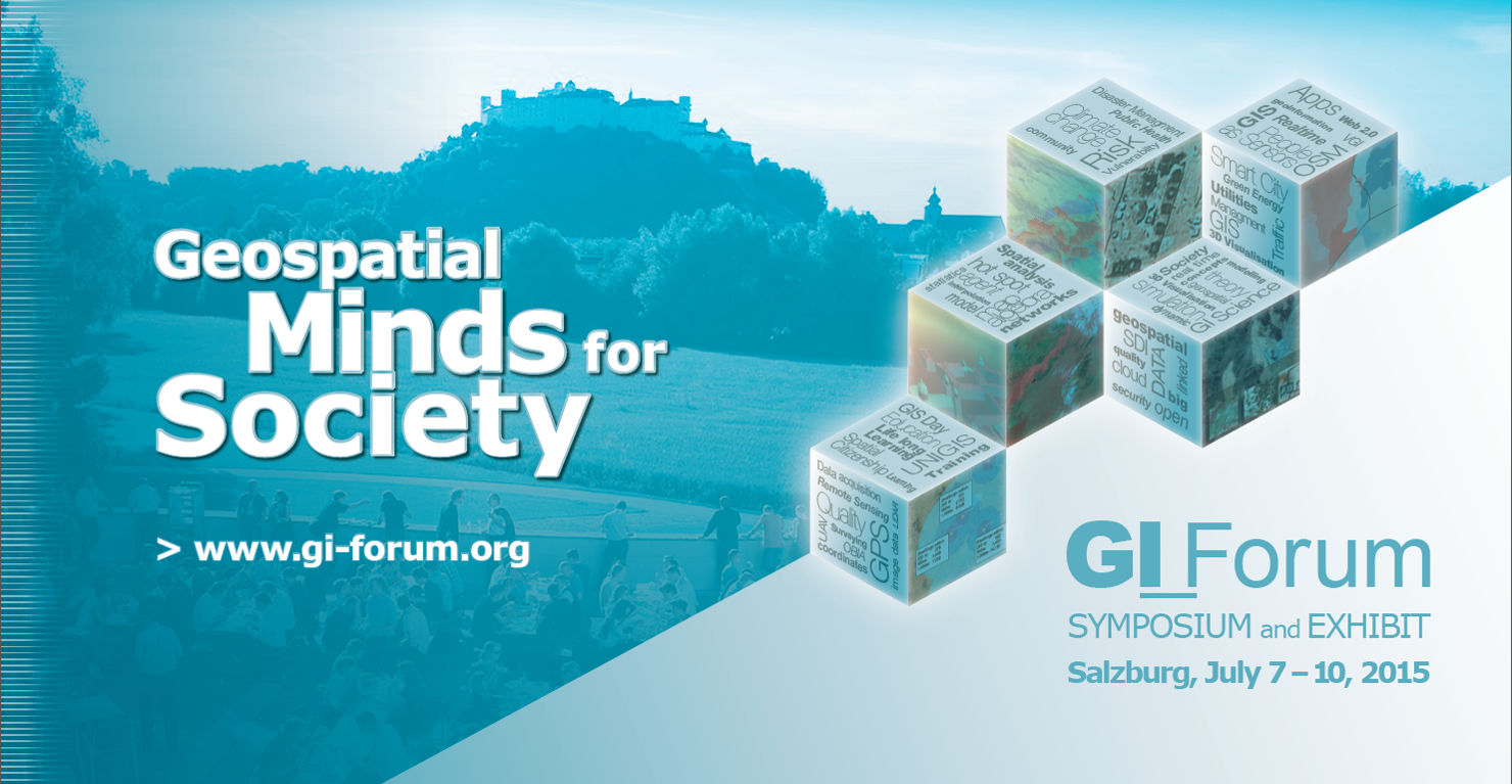
AGIT / GI_Forum - annual UNIGIS meeting place!


Staying up-to-date professionally requires a focus on two things: following new developments in geospatial technologies and methods, and to be well connected in a network of  peers.

Both objectives are well supported through our annual pair of conferences, AGIT and the English language GI_Forum. Outstanding keynotes provide inspiration and perspective. With a rich program of workshops, paper presentations and tutorials, the choices of relevant and timely continuing education offerings sometimes are hard, but rewarding. The presence of UNIGIS alumni from all over the world, and from every vintage provides an excellent opportunity to enhance one's network, of course assisted by a diversity of social events - to mention only the dedicated Club UNIGIS Come2gether: July 9th, 1pm!

Perhaps even more importantly, these conferences are THE chance to re-connect with the UNIGIS teaching and organisational teams, to jointly develop new ideas - or just to stay in touch. Whatever anyone specifically has in mind, we are keen to say 'hello' and look forward to meeting our not-so-old and even-younger graduates and students again in Salzburg!

Tuesday, May 20, 2014

Registration countdown for the 5th Open Source Opportunities in GIS Summer School


The 5th Open Source Opportunities in GIS Summer School focused on Open Web Services and Web Map Applications will take place from 7th to 11th of July 2014 in Girona. It's organized by SIGTE of the University of Girona with the contribution of Prodevelop (partner de OpenGeo) and the Nottingham Geoespatial Institute of the University of Nottingham.

The Open Source Opportunities in GIS Summer School is an initiative aimed to meet the GIS professional demands related to free and open solutions, and we are working on this vision from the start. The Summer School 2014 will be focused on the development and creation of Open Web Services and Web Applications, especially on the publication of data on the web. With this goal, the programme will cover topics related to the acquisition and importation of OpenStreetMap data into a spatial database, creation of geospatial web services and development of internet viewers for publishing geospatial data.

If you are interested in application development and creation of web map services using the most widely used free and open source market products, then this is your opportunity.


Keep in mind!

Registration: until 27th of June 2014

More information


Monday, January 21, 2013

Open Web Services and Web Map Applications Summer School 2013


From 8th to 12th of July 2013 will take place the 4rd Summer School dedicated to Open Source Opportunities in GIS in Girona, organized by SIGTE of the University of Girona with the contribution of OpenGeo, industry leader in geospatial technology based on free software, and the Geospatial Institute of the University of Nottingham, experts in Open Web Services.

The Open Source Opportunities in GIS Summer School is an initiative aimed to meet the GIS professional demands related to free and open solutions, and we are working on this vision from the start. The Summer School 2013 will be focused on the development and creation of Open Web Services and Web Applications, especially on the publication of data on the web. With this goal, the programme will cover topics related to the management and query of spatial databases, creation of geospatial web services and development of internet viewers for publishing geospatial data. During this course you will learn some basic and fundamental steps in the use of tools such as PostgreSQL and PostGIS, GeoServer, OpenLayers and GeoExt. 

If you are interested in application development and creation of web map services using the most widely used free and open source market products, then this is your opportunity. 

And beyond the strict quality and technical level of the programme, there is the charm of the historic city of Girona and the magnificent Old Town and its wide range of cultural, musical and culinary offer; and the hospitality that has always distinguished the organization team, recognized in each of the initiatives that we undertake. 


Sunday, March 11, 2012

UNIGIS in Malaysia!

Facilitating an ongoing process of integrating institutions from Southeast Asia into the international UNIGIS network of universities, UNIGIS representatives again participated in this year's Malaysia Geospatial Forum organised at Melaka, Malaysia on 6th and 7th March, 2012.

Dr. Shahnawaz (Director, UNIGIS S/E Asia) managed an exhibit booth shared with Geomatika College International, as well as organised a series of workshops for students, teaching faculty as well as professionals engaged at various institutions and organisations.

Saturday, July 2, 2011

UNIGIS at AGIT and GI_Forum

Traditionally, the annual GI_Forum and AGIT Symposia at the University of Salzburg from July 4-8 are highlights for the UNIGIS community: more than 100 students and alumni will not only actively participate in conference events, but will meet with fellow students and the UNIGIS team face-to-face as a welcome break from telecommunication-heavy distance learning.

Some UNIGIS graduates will be recognized for their achievements, e.g. the winners of the UNIGIS International Association top Masters theses have the chance to present their work immediately following Ian Dowman's keynote on Thursday morning.

The Z_GIS - UNIGIS booth in the exhibit area again will serve as the meeting point for UNIGIS students, graduates and faculty throughout the conference. This location is the best point for information and consulting for prospective future students in the MSc and professional certificate programmes: AGIT / GI_Forum mark the opening of the registration period for the next UNIGIS courses starting in October 2011 (UNIGIS professional) and January 2012 (UNIGIS MSc)!

Monday, March 17, 2008

GIS for the Future of Central Asia - May 15-17


This is the motto of the 2nd Central Asia GIS Conference - GISCA’08 held in Bishkek, Kyrgyzstan May 15-17, 2008. The Centre for Geoinformatics (Z_GIS), Salzburg University and UNIGIS are organising this conference jointly with the Kyrgyz State University of Construction, Transportation and Architecture (KSUCTA) and with support from the Eurasia-Pacific Uninet.
The organising committee invites active participation in this international event and submission of presentations and papers. The main objectives of this conference are to bring together GIS academics in the Central Asian countries and to encourage international cooperation and knowledge exchange in GIS education. A particular highlight of the event will be the inauguration of the joint "Central Asia Centre for GIScience", serving as a UNIGIS Study Centre for Central Asia as well as a centre of competence for regional GIS projects.
For further details, please attend the conference website!

Tuesday, January 22, 2008

ENERegion - Summer School on "Regional Potentials for Renewable Energy Generation"

The ENERegion International Summer School is dedicated to the theme of "Regional Potentials for Renewable Energy Generation" and is hosted by Salzburg University's Centre for Geoinformatics (Z_GIS).

In a set of lectures, group work and practicals participants focus on using Geographic Information Systems and Spatial Analysis techniques to model spatial patterns of demand as well as regional potentials of solar-thermal and photovoltaic, wind, biomass and hydropower resources. In order to assess the current state of the art regarding the technologies of renewable energy generation for a sustainable development in Europe, the Summer School will provide an insight into leading edge developments in the field. Participants have the opportunity to attend sessions at the Geoinformatics Forum 2008 symposium dedicated to “Energy for the Future”.

Applications are accepted until May 15, 2008. Due to limited places we strongly recommend an early registration! For registration and further details please visit our Summer School website!

LBS Summer School: "Mobile and Location Based Services" in Salzburg, Austria

The International Summer School on Mobile and Location Based Services (LBS) is hosted by Salzburg University's Centre for Geoinformatics (Z_GIS).

LBS are used to innovate business and safety but also to disclose original ideas in community services, urban planning or new media. Large companies such as Nokia or Google offer LBS solutions to their professional or consumer customers. Organisations such as BP or FedEx use location aware applications for safety and business efficiency.

The Summer School addresses foundations, technology and adoption issues in location-aware solutions. It includes user and business demands, case studies, technical architectures, RFID and non-traditional location technologies, as well as the ethical dimension of LBS together with implications for privacy and labour relations.

Applications are accepted until May 15, 2008. Due to limited places we strongly recommend an early registration! For registration and further details please visit our summer school website!

Friday, December 21, 2007

UNIGIS Day - Osnabrück, Germany

On February 23rd, 2008 a UNIGIS information day will be hosted by the Department of Geoinformatics and Remote Sensing at Osnabrück University. The event is dedicated to UNIGIS graduates (mainly from northern Germany) as well as to prospective UNIGIS students. A detailed program will be available soon under
http://www.unigis.uni-osnabrueck.de/unigistag.html

The next German language UNIGIS information day will take place on May 29th in Rapperswil, Switzerland.

Sunday, October 28, 2007

UNIGIS @ MapAfrica

UNIGIS is organising a GIS education workshop at the 2007 MapAfrica conference in Cape Town. Speakers from a range of institutions and countries are contributing with their views on curriculum development, building of GIS awareness and didactics of GIS learning environments.
In line with the conference motto of 'Building Geospatial Capacity and Infrastructure in Africa' Josef Strobl from UNIGIS Salzburg has set the stage with a plenary keynote on 'Geospatial Awareness, Skills and Knowledge - Managing our Future'.